
Dunes City topographic map
Interactive map
Click on the map to display elevation.
About this map
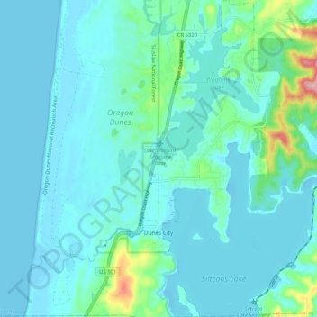
Name: Dunes City topographic map, elevation, terrain.
Location: Dunes City, Lane County, Oregon, 97493, USA (43.86328 -124.12476 43.93777 -124.07849)
Average elevation: 75 ft
Minimum elevation: -10 ft
Maximum elevation: 584 ft