
大水沟 topographic map
Interactive map
Click on the map to display elevation.
About this map
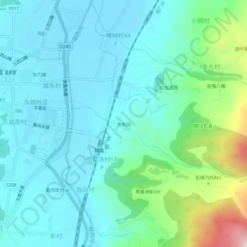
Name: 大水沟 topographic map, elevation, terrain.
Location: 大水沟, 哈莫洛村ꉐꂾꇉ, 越西县, 凉山彝族自治州, 四川省, 中国 (28.61695 102.50713 28.65695 102.54713)
Average elevation: 5,846 ft
Minimum elevation: 5,423 ft
Maximum elevation: 7,602 ft