
大汶口镇 topographic map
Interactive map
Click on the map to display elevation.
About this map
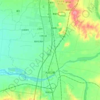
Name: 大汶口镇 topographic map, elevation, terrain.
Location: 大汶口镇, 岱岳区, 泰安市, 山东省, 271000, 中国 (35.94113 117.01817 36.02873 117.20015)
Average elevation: 341 ft
Minimum elevation: 269 ft
Maximum elevation: 525 ft
Other topographic maps
Click on a map to view its topography, its elevation and its terrain.