
Ejido El Porvenir topographic map
Interactive map
Click on the map to display elevation.
About this map
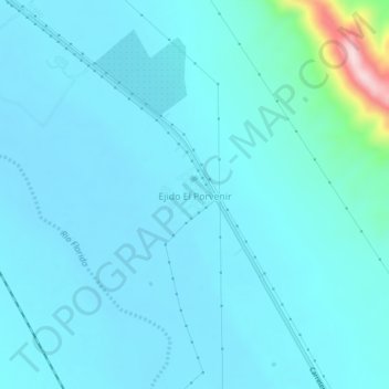
Name: Ejido El Porvenir topographic map, elevation, terrain.
Location: Ejido El Porvenir, Camargo, Chihuahua, México (27.53731 -104.97518 27.57731 -104.93518)
Average elevation: 4,268 ft
Minimum elevation: 4,157 ft
Maximum elevation: 5,282 ft
Other topographic maps
Click on a map to view its topography, its elevation and its terrain.