
Matongé topographic map
Interactive map
Click on the map to display elevation.
About this map
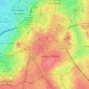
Name: Matongé topographic map, elevation, terrain.
Location: Matongé, Ixelles, Bruxelles-Capitale, Belgique (50.83470 4.36122 50.83866 4.36725)
Average elevation: 210 ft
Minimum elevation: 66 ft
Maximum elevation: 302 ft