
Ommerenveld topographic map
Interactive map
Click on the map to display elevation.
About this map
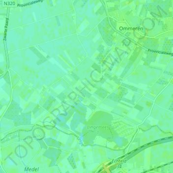
Name: Ommerenveld topographic map, elevation, terrain.
Location: Ommerenveld, Gelderland, Nederland, 4032, Nederland (51.91292 5.45924 51.95292 5.49924)
Average elevation: 20 ft
Minimum elevation: 3 ft
Maximum elevation: 33 ft