
Schieritz topographic map
Interactive map
Click on the map to display elevation.
About this map
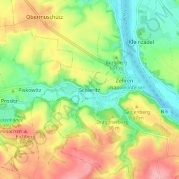
Name: Schieritz topographic map, elevation, terrain.
Location: Schieritz, Meißen, Sachsen, Deutschland (51.17701 13.37202 51.21701 13.41202)
Average elevation: 482 ft
Minimum elevation: 305 ft
Maximum elevation: 705 ft