
Trapiche topographic map
Interactive map
Click on the map to display elevation.
About this map
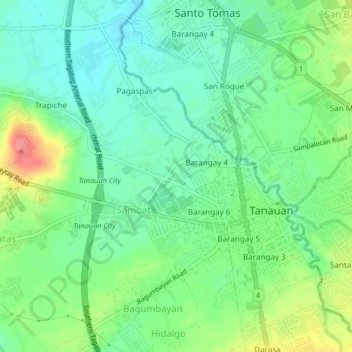
Name: Trapiche topographic map, elevation, terrain.
Location: Trapiche, Tanauan, Batangas, Calabarzon, 4232, Philippines (14.06921 121.12170 14.10921 121.16170)
Average elevation: 495 ft
Minimum elevation: 410 ft
Maximum elevation: 663 ft