
Orefield topographic map
Interactive map
Click on the map to display elevation.
About this map
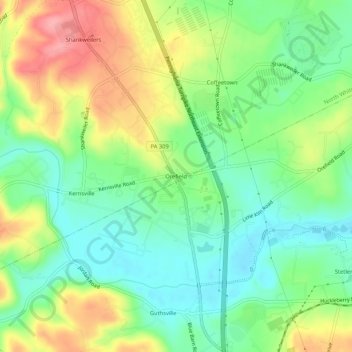
Name: Orefield topographic map, elevation, terrain.
Location: Orefield, Lehigh County, Pennsylvania, 18069:18104, USA (40.61482 -75.60435 40.65482 -75.56435)
Average elevation: 463 ft
Minimum elevation: 322 ft
Maximum elevation: 679 ft