
Heugraben topographic map
Interactive map
Click on the map to display elevation.
About this map
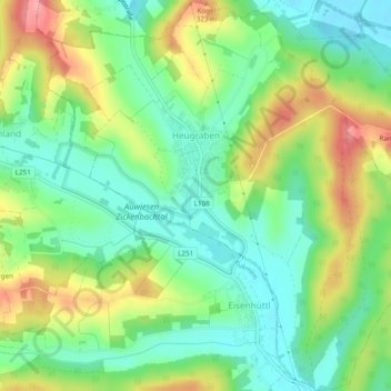
Name: Heugraben topographic map, elevation, terrain.
Location: Heugraben, Güssing, Burgenland, Österreich (47.09771 16.17282 47.13045 16.22029)
Average elevation: 892 ft
Minimum elevation: 761 ft
Maximum elevation: 1,102 ft