
Anthée topographic map
Interactive map
Click on the map to display elevation.
About this map
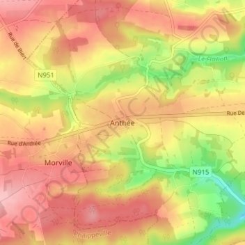
Name: Anthée topographic map, elevation, terrain.
Location: Anthée, Onhaye, Dinant, Namen, Wallonië, 5520, België (50.21953 4.74040 50.25953 4.78040)
Average elevation: 833 ft
Minimum elevation: 574 ft
Maximum elevation: 997 ft