
前双墙村 topographic map
Interactive map
Click on the map to display elevation.
About this map
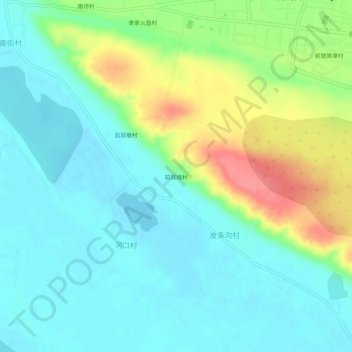
Name: 前双墙村 topographic map, elevation, terrain.
Location: 前双墙村, 双河镇, 托克托县, 呼和浩特市, 内蒙古自治区, 中国 (40.23528 111.15440 40.27528 111.19440)
Average elevation: 3,310 ft
Minimum elevation: 3,232 ft
Maximum elevation: 3,491 ft