
Park Hills topographic map
Interactive map
Click on the map to display elevation.
About this map
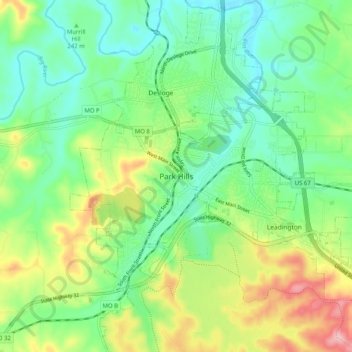
Name: Park Hills topographic map, elevation, terrain.
Location: Park Hills, St. Francois County, Missouri, 63601, USA (37.81180 -90.56290 37.89180 -90.48290)
Average elevation: 843 ft
Minimum elevation: 669 ft
Maximum elevation: 1,178 ft