
Gray topographic map
Interactive map
Click on the map to display elevation.
About this map
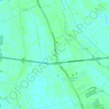
Name: Gray topographic map, elevation, terrain.
Location: Gray, Terrebonne Parish, Louisiane, États-Unis d'Amérique (29.64485 -90.81220 29.72702 -90.73833)
Average elevation: 10 ft
Minimum elevation: 0 ft
Maximum elevation: 20 ft