
Santander topographic map
Interactive map
Click on the map to display elevation.
About this map
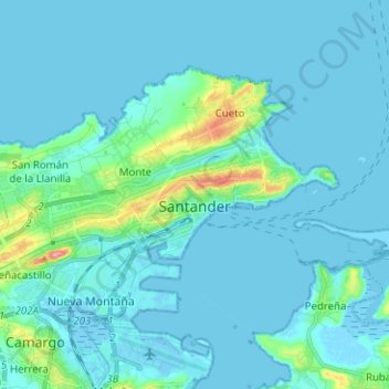
Name: Santander topographic map, elevation, terrain.
Location: Santander, Comarca de Santander, Cantabria, España (43.43442 -3.88903 43.49490 -3.76325)
Average elevation: 33 ft
Minimum elevation: -16 ft
Maximum elevation: 318 ft