
Großalm topographic map
Interactive map
Click on the map to display elevation.
About this map
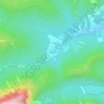
Name: Großalm topographic map, elevation, terrain.
Location: Großalm, Altmünster, Bezirk Gmunden, 4813, Österreich (47.82927 13.63632 47.86927 13.67632)
Average elevation: 2,667 ft
Minimum elevation: 1,900 ft
Maximum elevation: 5,259 ft