
Sardulgarh topographic map
Interactive map
Click on the map to display elevation.
About this map
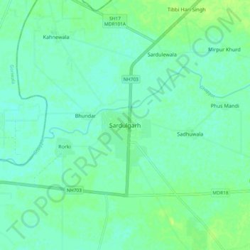
Name: Sardulgarh topographic map, elevation, terrain.
Average elevation: 686 ft
Minimum elevation: 669 ft
Maximum elevation: 709 ft
Sardulgarh is located in the south region of Punjab State. The longitude and latitude at 29.697°N 75.238752°E. It has an average elevation of 210 metres (688 feet). It is a city located around the bank of River Ghagar. It is surrounded and touch the border of Haryana State from 3 sides. Its boundary touches to 3 districts (Bathinda, Sirsa and Fatehabad).