
Harmony Hall topographic map
Interactive map
Click on the map to display elevation.
About this map
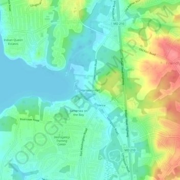
Name: Harmony Hall topographic map, elevation, terrain.
Location: Harmony Hall, Prince George's County, Maryland, 20744, USA (38.72567 -77.02192 38.76567 -76.98192)
Average elevation: 79 ft
Minimum elevation: -10 ft
Maximum elevation: 249 ft