
Tatysh topographic map
Interactive map
Click on the map to display elevation.
About this map
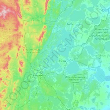
Name: Tatysh topographic map, elevation, terrain.
Location: Tatysh, Chelyabinsk Oblast, Ural Federal District, Russia (55.58674 60.57100 55.97389 61.08553)
Average elevation: 938 ft
Minimum elevation: 699 ft
Maximum elevation: 2,106 ft