
Red Deer Creek topographic map
Interactive map
Click on the map to display elevation.
About this map
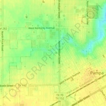
Name: Red Deer Creek topographic map, elevation, terrain.
Location: Red Deer Creek, Pampa, Gray County, Texas, 79065, USA (35.54056 -100.97395 35.54213 -100.97391)
Average elevation: 3,232 ft
Minimum elevation: 3,179 ft
Maximum elevation: 3,251 ft