
Pearl District topographic map
Interactive map
Click on the map to display elevation.
About this map
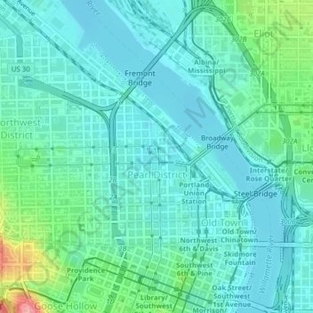
Name: Pearl District topographic map, elevation, terrain.
Average elevation: 82 ft
Minimum elevation: 7 ft
Maximum elevation: 394 ft
Other topographic maps
Click on a map to view its topography, its elevation and its terrain.
East Columbia
United States > Oregon > Multnomah County > Portland
East Columbia, Portland, Multnomah County, Oregon, United States
Average elevation: 30 ft