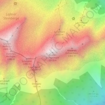
Großes Ochsenhorn topographic map
Interactive map
Click on the map to display elevation.
About this map
Name: Großes Ochsenhorn topographic map, elevation, terrain.
Average elevation: 6,027 ft
Minimum elevation: 3,386 ft
Maximum elevation: 8,140 ft

Click on the map to display elevation.
Name: Großes Ochsenhorn topographic map, elevation, terrain.
Average elevation: 6,027 ft
Minimum elevation: 3,386 ft
Maximum elevation: 8,140 ft