
Jõgeva vald topographic map
Interactive map
Click on the map to display elevation.
About this map
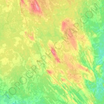
Name: Jõgeva vald topographic map, elevation, terrain.
Location: Jõgeva vald, Kreis Laisholm, Estland (58.58230 26.11641 58.96892 26.86745)
Average elevation: 243 ft
Minimum elevation: 105 ft
Maximum elevation: 531 ft