
Arripiado topographic map
Interactive map
Click on the map to display elevation.
About this map
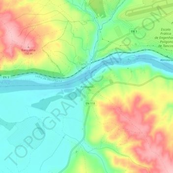
Name: Arripiado topographic map, elevation, terrain.
Location: Arripiado, Carregueira, Chamusca, Santarém, 2260-314, Portugal (39.43448 -8.41481 39.47448 -8.37481)
Average elevation: 220 ft
Minimum elevation: 33 ft
Maximum elevation: 499 ft