
La Jonquière topographic map
Interactive map
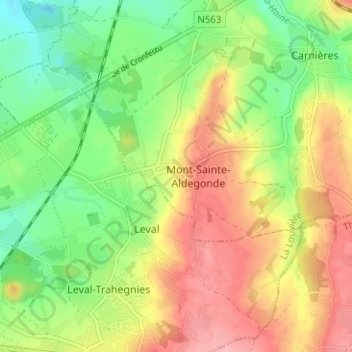
Click on the map to display elevation.
About this map
Name: La Jonquière topographic map, elevation, terrain.
Average elevation: 430 ft
Minimum elevation: 259 ft
Maximum elevation: 617 ft
Other topographic maps
Click on a map to view its topography, its elevation and its terrain.
Cronfestu
Belgique > Hainaut > La Louvière > Morlanwelz > Mont-Sainte-Aldegonde
Cronfestu, Mont-Sainte-Aldegonde, Morlanwelz, La Louvière, Hainaut, Wallonie, 7141, Belgique
Average elevation: 371 ft