
Santa Maria topographic map
Interactive map
Click on the map to display elevation.
About this map
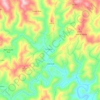
Name: Santa Maria topographic map, elevation, terrain.
Location: Santa Maria, Fornalha, Tavira, Faro, Algarve, Portugal (37.18146 -7.73749 37.22146 -7.69749)
Average elevation: 535 ft
Minimum elevation: 125 ft
Maximum elevation: 1,024 ft