Hinter der Burg topographic map
Interactive map
Click on the map to display elevation.
About this map
Name: Hinter der Burg topographic map, elevation, terrain.
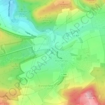
Average elevation: 778 ft
Minimum elevation: 538 ft
Maximum elevation: 1,165 ft

Click on the map to display elevation.
Name: Hinter der Burg topographic map, elevation, terrain.
Average elevation: 778 ft
Minimum elevation: 538 ft
Maximum elevation: 1,165 ft