
黄蒿湾村 topographic map
Interactive map
Click on the map to display elevation.
About this map
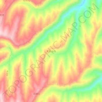
Name: 黄蒿湾村 topographic map, elevation, terrain.
Location: 黄蒿湾村, 中连川乡, 榆中县, 兰州市, 甘肃省, 中国 (36.07147 104.46897 36.11147 104.50897)
Average elevation: 7,313 ft
Minimum elevation: 6,732 ft
Maximum elevation: 7,766 ft