

Arque topographic map
Click on the map to display elevation.
Arque
It is located in the Bolivian Andes at an elevation between 3,000 and 4,500 metres and about 250 km west of Cochabamba, the capital of the department. The landscape is deeply fissured. Some of the highest mountains of the province are listed below.
About this map
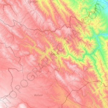
Name: Arque topographic map, elevation, terrain.
Location: Arque, Cochabamba, Bolivia (-17.97607 -66.77565 -17.67191 -66.25144)
Average elevation: 12,408 ft
Minimum elevation: 7,972 ft
Maximum elevation: 15,344 ft