
Los Tocones topographic map
Interactive map
Click on the map to display elevation.
About this map
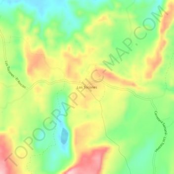
Name: Los Tocones topographic map, elevation, terrain.
Location: Los Tocones, Samana, Samaná, Dominican Republic (19.24386 -69.25568 19.28386 -69.21568)
Average elevation: 279 ft
Minimum elevation: -13 ft
Maximum elevation: 620 ft
Other topographic maps
Click on a map to view its topography, its elevation and its terrain.