
Colling topographic map
Interactive map
Click on the map to display elevation.
About this map
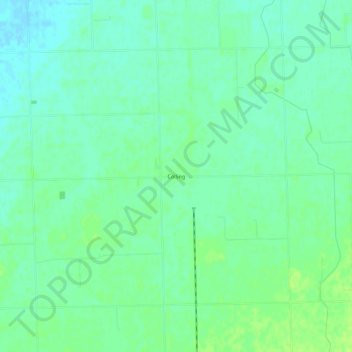
Name: Colling topographic map, elevation, terrain.
Location: Colling, Tuscola County, Michigan, USA (43.59113 -83.42912 43.63113 -83.38912)
Average elevation: 650 ft
Minimum elevation: 630 ft
Maximum elevation: 673 ft