
Thank you for supporting this site ❤️
Make a donation
Make a donation
Gear up for your next adventure:
As an Amazon Associate, this site earns from qualifying purchases at no extra cost to you.
Rumgong topographic map
Click on the map to display elevation.
Thank you for supporting this site ❤️
Make a donation
Make a donation
Gear up for your next adventure:
As an Amazon Associate, this site earns from qualifying purchases at no extra cost to you.
About this map
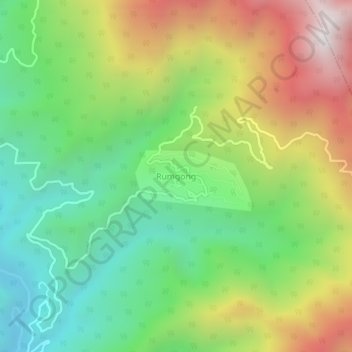
Name: Rumgong topographic map, elevation, terrain.
Location: Rumgong, Rumgong ADC, Siang district, Arunachal Pradesh, India (28.29096 94.86591 28.33096 94.90591)
Average elevation: 2,999 ft
Minimum elevation: 1,070 ft
Maximum elevation: 5,919 ft
Thank you for supporting this site ❤️
Make a donation
Make a donation
Gear up for your next adventure:
As an Amazon Associate, this site earns from qualifying purchases at no extra cost to you.