
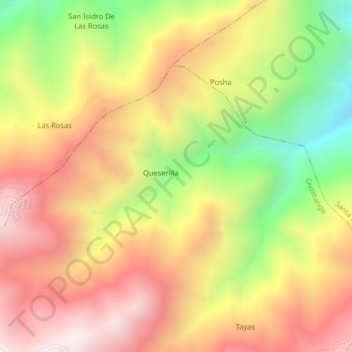
Contumazá topographic map
Interactive map
Click on the map to display elevation.
About this map
Name: Contumazá topographic map, elevation, terrain.
Location: Contumazá, Guzmango, Contumazá, Cajamarca, Peru (-7.35333 -78.93667 -7.31333 -78.89667)
Average elevation: 9,731 ft
Minimum elevation: 7,720 ft
Maximum elevation: 11,368 ft