
Gorhe topographic map
Interactive map
Click on the map to display elevation.
About this map
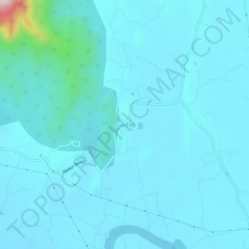
Name: Gorhe topographic map, elevation, terrain.
Location: Gorhe, Thane, Maharashtra, India (19.62780 72.98942 19.66780 73.02942)
Average elevation: 157 ft
Minimum elevation: 36 ft
Maximum elevation: 1,542 ft