
Pola de Laviana topographic map
Interactive map
Click on the map to display elevation.
About this map
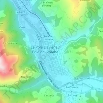
Name: Pola de Laviana topographic map, elevation, terrain.
Location: Pola de Laviana, Laviana, Asturias, 33980, España (43.23952 -5.56761 43.25243 -5.55677)
Average elevation: 1,339 ft
Minimum elevation: 899 ft
Maximum elevation: 2,641 ft
Other topographic maps
Click on a map to view its topography, its elevation and its terrain.