
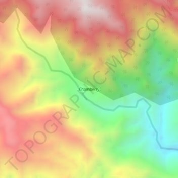
Chamberry topographic map
Interactive map
Click on the map to display elevation.
About this map
Name: Chamberry topographic map, elevation, terrain.
Location: Chamberry, Argelia, Oriente, Antioquia, Colombie (5.68765 -75.05991 5.72765 -75.01991)
Average elevation: 3,770 ft
Minimum elevation: 1,762 ft
Maximum elevation: 5,630 ft