
Heers topographic map
Interactive map
Click on the map to display elevation.
About this map
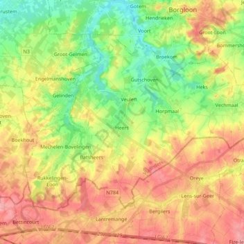
Name: Heers topographic map, elevation, terrain.
Location: Heers, Limbourg, Flandre, 3870, Belgique (50.71510 5.23437 50.79187 5.40219)
Average elevation: 315 ft
Minimum elevation: 171 ft
Maximum elevation: 456 ft