
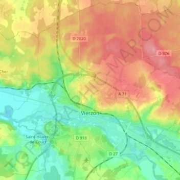
Vierzon topographic map
Interactive map
Click on the map to display elevation.
About this map
Name: Vierzon topographic map, elevation, terrain.
Location: Vierzon, Cher, Centro, França metropolitana, 18100, França (47.18422 2.00099 47.28581 2.15421)
Average elevation: 449 ft
Minimum elevation: 299 ft
Maximum elevation: 636 ft