
Kloosterberg topographic map
Interactive map
Click on the map to display elevation.
About this map
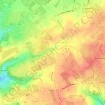
Name: Kloosterberg topographic map, elevation, terrain.
Location: Kloosterberg, Meerssen, Limburg, Nederland, 6235AA, Nederland (50.88836 5.78620 50.90836 5.80620)
Average elevation: 407 ft
Minimum elevation: 289 ft
Maximum elevation: 469 ft
Other topographic maps
Click on a map to view its topography, its elevation and its terrain.
Ulestraten
Nederland > Limburg > Meerssen
Ulestraten, Meerssen, Limburg, Nederland
Average elevation: 374 ft