
Saint-Raymond topographic map
Interactive map
Click on the map to display elevation.
About this map
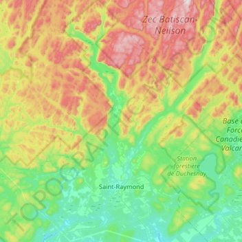
Name: Saint-Raymond topographic map, elevation, terrain.
Location: Saint-Raymond, Portneuf, Capitale-Nationale, Québec, Canada (46.80608 -72.11688 47.16465 -71.63271)
Average elevation: 1,148 ft
Minimum elevation: 335 ft
Maximum elevation: 2,812 ft