
Chía topographic map
Interactive map
Click on the map to display elevation.
About this map
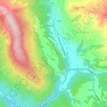
Name: Chía topographic map, elevation, terrain.
Location: Chía, La Ribagorza, Huesca, Aragona, Spagna (42.48313 0.40787 42.56742 0.48320)
Average elevation: 4,587 ft
Minimum elevation: 2,612 ft
Maximum elevation: 8,182 ft