
De Mokker topographic map
Interactive map
Click on the map to display elevation.
About this map
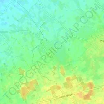
Name: De Mokker topographic map, elevation, terrain.
Location: De Mokker, Koekelare, West Flanders, Flanders, 8680, Belgium (51.06570 2.92442 51.10570 2.96442)
Average elevation: 33 ft
Minimum elevation: -3 ft
Maximum elevation: 82 ft