
Rondos topographic map
Interactive map
Click on the map to display elevation.
About this map
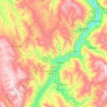
Name: Rondos topographic map, elevation, terrain.
Location: Rondos, Provincia de Lauricocha, Huánuco, Perú (-10.05094 -76.82405 -9.86808 -76.62650)
Average elevation: 12,572 ft
Minimum elevation: 10,276 ft
Maximum elevation: 14,373 ft