
Piegaro topographic map
Interactive map
Click on the map to display elevation.
About this map
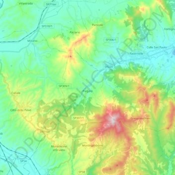
Name: Piegaro topographic map, elevation, terrain.
Location: Piegaro, Perugia, Umbrien, 06066, Italien (42.93337 12.05082 43.01216 12.26524)
Average elevation: 1,270 ft
Minimum elevation: 679 ft
Maximum elevation: 2,789 ft