
La Carretera topographic map
Interactive map
Click on the map to display elevation.
About this map
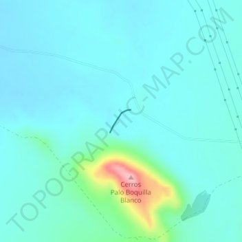
Name: La Carretera topographic map, elevation, terrain.
Location: La Carretera, Ahumada, Chihuahua, México (30.27230 -106.51198 30.27484 -106.50932)
Average elevation: 4,364 ft
Minimum elevation: 4,278 ft
Maximum elevation: 4,856 ft
Other topographic maps
Click on a map to view its topography, its elevation and its terrain.
El Divisadero
El Divisadero, Madera, Chihuahua, México
Average elevation: 7,329 ft
Las Tortugas
Las Tortugas, Urique, Chihuahua, México
Average elevation: 5,879 ft