
Anvaing topographic map
Interactive map
Click on the map to display elevation.
About this map
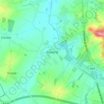
Name: Anvaing topographic map, elevation, terrain.
Location: Anvaing, Frasnes-lez-Anvaing, Henegouwen, Wallonië, 7910, België (50.66177 3.54172 50.70177 3.58172)
Average elevation: 131 ft
Minimum elevation: 62 ft
Maximum elevation: 351 ft