
Wald topographic map
Interactive map
Click on the map to display elevation.
About this map
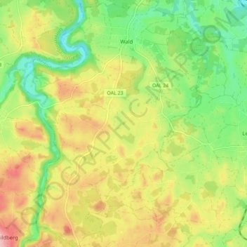
Name: Wald topographic map, elevation, terrain.
Location: Wald, Seeg (VGem), Landkreis Ostallgäu, Bavière, Allemagne (47.67390 10.52206 47.73228 10.58678)
Average elevation: 2,707 ft
Minimum elevation: 2,484 ft
Maximum elevation: 2,972 ft