
Winifred topographic map
Interactive map
Click on the map to display elevation.
About this map
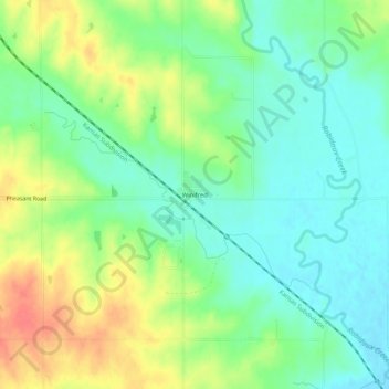
Name: Winifred topographic map, elevation, terrain.
Location: Winifred, Marshall County, Kansas, United States of America (39.74944 -96.50085 39.78944 -96.46085)
Average elevation: 1,240 ft
Minimum elevation: 1,165 ft
Maximum elevation: 1,358 ft