
Piúras topographic map
Interactive map
Click on the map to display elevation.
About this map
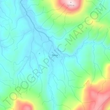
Name: Piúras topographic map, elevation, terrain.
Location: Piúras, Bocaina do Sul, Santa Catarina, Brasil (-27.80464 -49.89907 -27.76464 -49.85907)
Average elevation: 3,140 ft
Minimum elevation: 2,762 ft
Maximum elevation: 4,219 ft