
Kagguchi கக்குச்சி topographic map
Interactive map
Click on the map to display elevation.
About this map
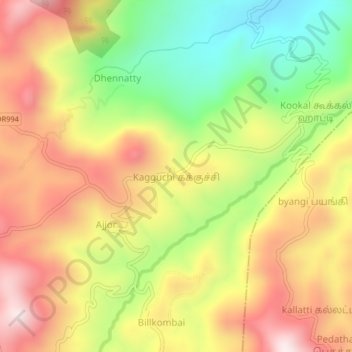
Name: Kagguchi கக்குச்சி topographic map, elevation, terrain.
Average elevation: 5,971 ft
Minimum elevation: 4,905 ft
Maximum elevation: 6,972 ft